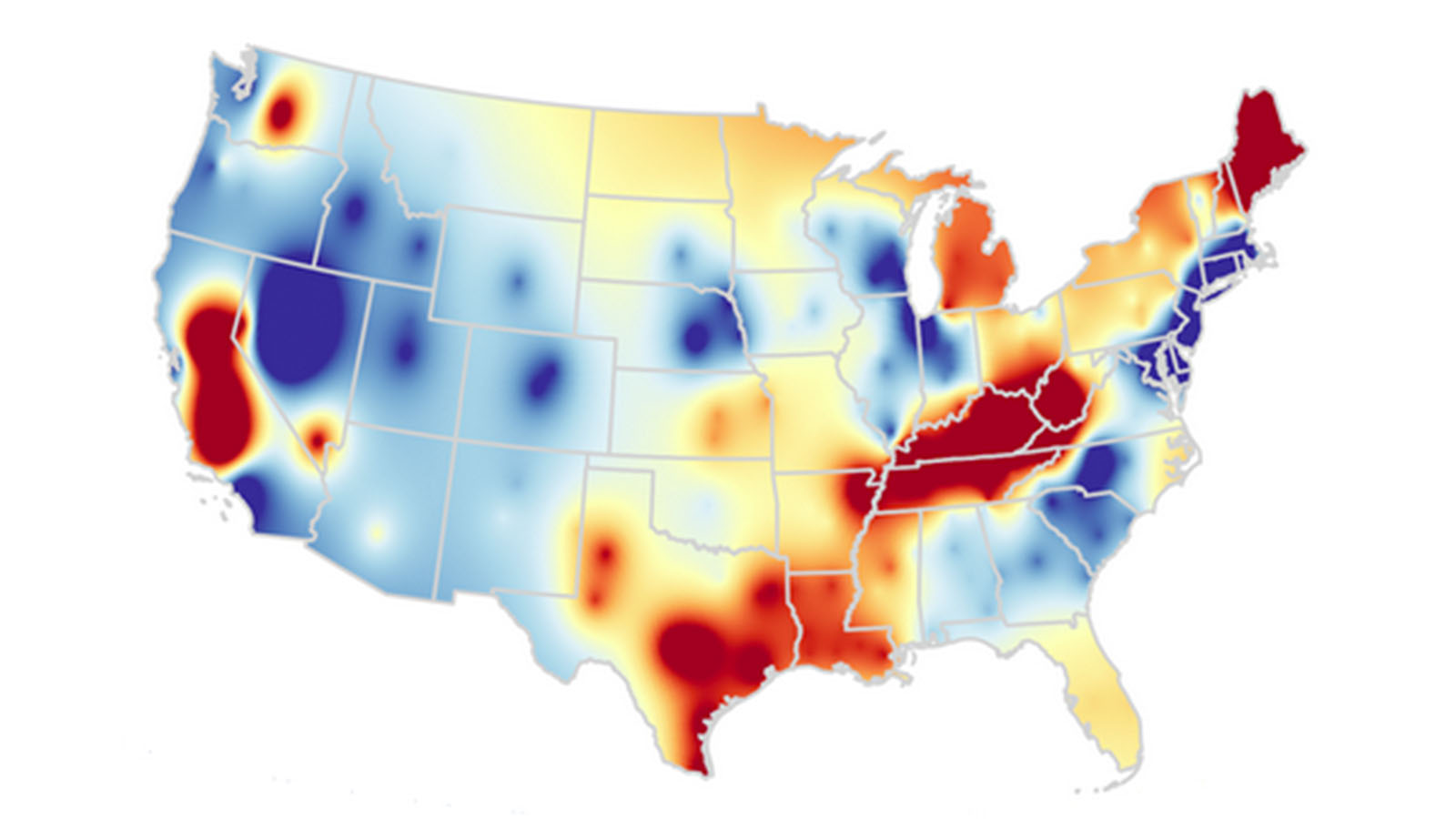
How to Download Maps from Aagstus.com
Step 1: Go to aagstus.com and search for the location you need a map for.
Step 2: Once you have found the location, select the map type you want to download. Aagstus.com offers various types of maps, including road maps, satellite maps, topographical maps, and more.
Step 3: Once you have selected the map type, click on the "Download" button to download the map file to your computer.
Step 4: Once the download is complete, locate the downloaded file on your computer and open it using a compatible program, such as Adobe Reader.
Printing the Downloaded File
Step 1: Open the downloaded file using Adobe Reader or another compatible program.
Step 2: Click on the "File" menu and select "Print" or use the keyboard shortcut "Ctrl + P."
Step 3: In the print dialog box, select the printer you want to use and adjust the print settings as necessary, such as page orientation, paper size, and print quality.
Step 4: Click on the "Print" button to start printing the map.
Using the Map for Statistical Surveys
Statistical surveys are a crucial tool for researchers and analysts to gather data and insights about a specific population or group. The following is a list of all statistical survey types and a brief summary of each:
Census Survey: A census survey is a comprehensive study of a population, including demographic information such as age, gender, race, and income.
Sample Survey: A sample survey is a study that involves selecting a sample of the population and collecting data from that sample.
Longitudinal Survey: A longitudinal survey is a study that follows a specific group of people over a long period, often several years, to track changes and trends.
Cross-Sectional Survey: A cross-sectional survey is a study that collects data from a single point in time, often comparing different groups or populations.
Panel Survey: A panel survey is a study that collects data from the same group of people over time to track changes and trends.
Internet Survey: An internet survey is a study that collects data through online surveys or questionnaires.
Telephone Survey: A telephone survey is a study that collects data through phone interviews with respondents.
Mail Survey: A mail survey is a study that collects data through mailed questionnaires.
Face-to-Face Survey: A face-to-face survey is a study that collects data through in-person interviews with respondents.
Conclusion
Aagstus.com is an excellent resource for downloading maps for various locations around the world. By following the steps outlined in this article, you can download and print maps from the website and use them for statistical surveys. With a better understanding of the different types of statistical surveys, you can choose the best approach for your research and gain valuable insights into your target population.

