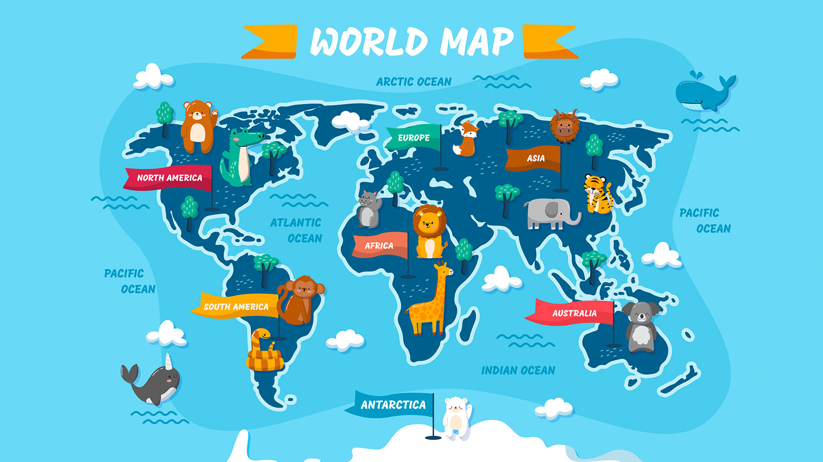
How to download maps from aagstus.com?
The process of downloading maps from aagstus.com is relatively straightforward. Here are the steps that you need to follow:
Step 1: Visit the aagstus.com website
Step 2: Click on the "Maps" tab on the homepage.
Step 3: Select the type of map you want to download. Aagstus.com offers a wide range of maps, including political maps, physical maps, topographic maps, climate maps, and more.
Step 4: Select the country or region for which you want to download the map.
Step 5: Choose the desired size and format of the map.
Step 6: Click on the "Download" button.
Step 7: The map will be downloaded to your device.
How to print the downloaded file?
Once you have downloaded the map, you need to print it so that you can use it for your Geography courses. Here are the steps that you need to follow to print the downloaded file:
Step 1: Open the downloaded file on your device.
Step 2: Click on the "Print" button.
Step 3: Choose the printer and the number of copies that you want to print.
Step 4: Adjust the printer settings, such as paper size, orientation, and print quality.
Step 5: Click on the "Print" button.
Step 6: The map will be printed on the selected printer.
How to use the printed map for Geography courses?
Now that you have downloaded and printed the map, it's time to use it for your Geography courses. Here are some of the ways in which you can use the printed map for your coursework:
Use the map to study the physical features of a region.
Physical maps show the natural features of a region, such as mountains, rivers, and deserts. You can use the printed physical map to study the topography of a region and understand the impact of physical features on the climate and vegetation.
Use the map to study the political boundaries of a region.
Political maps show the borders of countries and states. You can use the printed political map to study the political boundaries of a region and understand the geopolitical issues that arise due to border disputes.
Use the map to study the climate patterns of a region.
Climate maps show the average temperature, rainfall, and other weather patterns of a region. You can use the printed climate map to study the climatic conditions of a region and understand the impact of climate change on the environment.
Use the map to study the population density of a region.
Population density maps show the distribution of population in a region. You can use the printed population density map to study the demographic characteristics of a region and understand the impact of population growth on the economy and the environment.
Geography course types and summary
Geography is a vast subject that covers various aspects of the Earth's physical and human environment. Here are some of the types of Geography courses that you can take:
Physical Geography: This course focuses on the natural features of the Earth, such as landforms, climate, vegetation, and wildlife.
Human Geography: This course focuses on the human aspects of the Earth, such as population, culture, language, and urbanization.
Economic Geography: This course focuses on the economic activities of a region, such as trade, industry, and resource distribution.
Geopolitics: This course focuses on the political and strategic aspects of geography, such as international relations, border disputes, and the impact of geography on geopolitics.
Advocate: This course focuses on the science and art of mapmaking, including the use of technology and data to create accurate and informative maps.
Environmental Geography: This course focuses on the relationship between human activities and the environment, including topics such as climate change, pollution, and conservation.
In summary, downloading and printing maps from aagstus.com can be a useful tool for Geography courses. Once you have downloaded and printed the map, you can use it to study the physical features, political boundaries, climate patterns, and population density of a region. There are various types of Geography courses that you can take, including Physical Geography, Human Geography, Economic Geography, Geopolitics, Cartography, and Environmental Geography, each of which focuses on different aspects of the Earth's physical and human environment. By using maps to study Geography, you can gain a better understanding of the world around you and how it functions.

