Downloading Maps from Aagstus.com
Aagstus.com is a user-friendly website, and downloading maps from the website is a simple process. Here are the steps to follow:
Step 1: Open your web browser and visit the Aagstus.com website.
Step 2: Navigate to the 'Maps' section and select the type of map you want to download.
Step 3: Click on the 'Download' button to download the map in PDF format.
Step 4: Once the download is complete, open the PDF file and save it to your computer.
Printing the Downloaded File
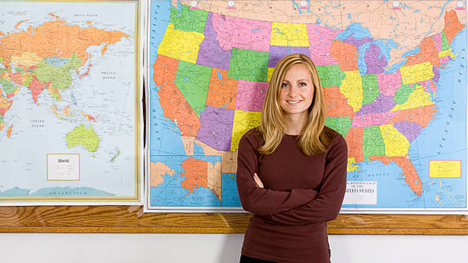
After downloading the map, the next step is to print it. Printing the map is crucial, as it provides a larger view of the map, which makes it easier to identify and study different features. Here are the steps to follow:
Step 1: Open the downloaded PDF file.
Step 2: Click on the 'Print' option in the PDF viewer.
Step 3: Select the printer you want to use.
Step 4: Choose the number of copies you want to print and any other printing options you may require.
Step 5: Click on the 'Print' button to start the printing process.
Using the Printed Map for Classroom Activities
Once you have printed the map, there are numerous classroom activities you can use it for. Here are some ideas:
Geography Quiz: Divide the class into teams and ask them to identify different features on the map, such as mountains, rivers, and cities.
Cultural Awareness: Use the map to teach students about different cultures and traditions in different parts of the world. For example, you could ask them to locate different landmarks, such as the Pyramids of Giza in Egypt or the Great Wall of China.
Climate Change: Use the map to teach students about climate change and its impact on different regions of the world. For example, you could ask them to identify areas that are affected by droughts, floods, or other natural disasters.
Language Learning: Use the map to teach students different languages spoken in different parts of the world. For example, you could ask them to identify countries where Spanish, French, or Mandarin is spoken.
Current Events: Use the map to teach students about current events and news stories from different parts of the world. For example, you could ask them to locate countries that are in the news or identify regions that are experiencing conflict.
In conclusion, downloading maps from Aagstus.com and using them for classroom activities is an excellent way to make learning about the world more engaging and interactive. With the availability of maps online, it is easier than ever to access maps of different regions of the world. Once downloaded and printed, maps can be used in a variety of classroom activities, such as geography quizzes, cultural awareness, climate change, language learning, and current events. Teachers can customize these activities according to the level of their students, making them fun and challenging at the same time. Incorporating maps into the curriculum can also help students develop spatial thinking skills, which are essential for understanding and navigating the world around us. Therefore, it is highly recommended for teachers to use maps in their classroom activities and make the learning experience more engaging and exciting for their students.