How to download Documents for Infographics
Posted on:
by Dipesh Bhoir
Posted on:
by Dipesh Bhoir
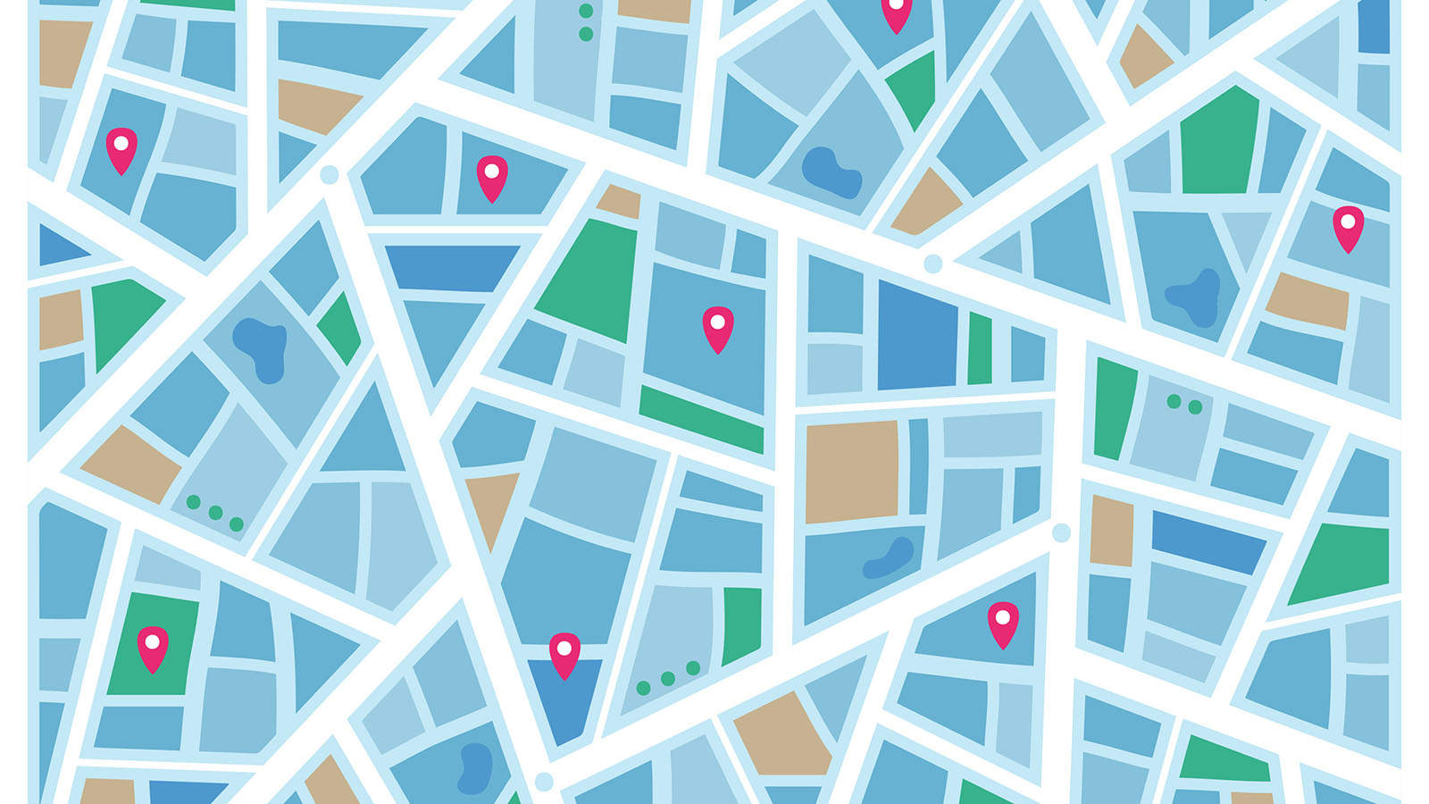
Maps are an essential tool for many individuals and businesses alike. They provide us with valuable information about our surroundings, including landmarks, streets, and terrain. One excellent source of maps is aagstus.com, a website that provides a wide range of maps for free. In this article, we will walk you through the process of downloading maps from aagstus.com, printing the downloaded files, and using them for infographics. Step 1: Visit aagstus.com The first step in downloading a map from aagstus.com is to visit the website. Once you're on the website, you will find a search bar at the top of the page. You can use this search bar to find the map you need by typing in a location or a keyword related to the type of map you need. Step 2: Select the map you want to download Once you have found the map you want to download, click on it to open it. You will be taken to a page with more information about the map, including a preview of the map. Under the preview, you will find a button labeled "Download." Click on this button to begin the download process. Step 3: Save the downloaded file After you click the download button, a window will pop up asking you where you want to save the downloaded file. Choose a location on your computer where you can easily find the file later. Step 4: Print the downloaded file Once you have downloaded the map, you can print it out on paper. To do this, open the downloaded file and select the "Print" option from the file menu. Choose your printer, adjust the settings if necessary, and click the "Print" button. Step 5: Use the printed map for infographics After printing the map, you can use it as a base for creating infographics. Infographics are visual pariahations of data, and maps are often used as a way to show geographic information. There are several types of infographics, including: Informational Infographics - These infographics provide information about a topic or subject in a clear and concise manner. Comparison Infographics - These infographics compare two or more things, showing the similarities and differences between them. Timeline Infographics - These infographics show the sequence of events in a chronological order. Process Infographics - These infographics show the steps involved in a process, such as a recipe or a manufacturing process. Statistical Infographics - These infographics use data and statistics to convey information. By using the map you downloaded from aagstus.com as a base, you can create an infographic that provides valuable information about a particular location or area. In conclusion, aagstus.com is an excellent source of maps that can be used for a variety of purposes, including infographics. By following the steps outlined in this article, you can download a map from aagstus.com, print it out, and use it as a base for creating an infographic. Whether you need a map for personal or business use, aagstus.com is a great resource to turn to.