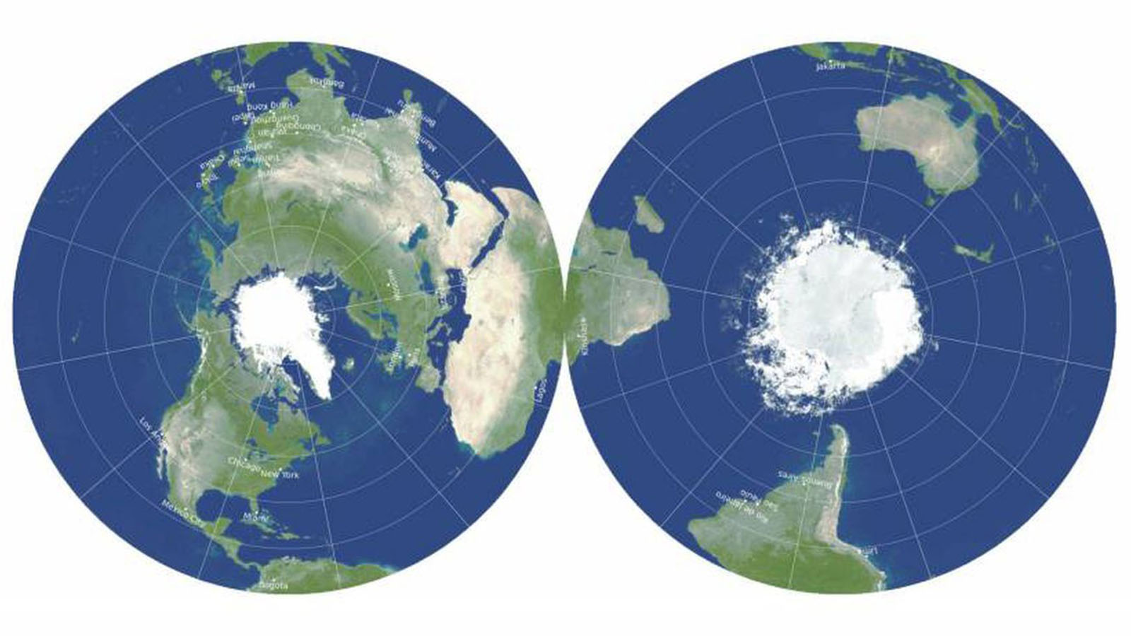
Downloading Maps from Aagstus.com
Downloading maps from aagstus.com is a straightforward process. Here are the steps you need to follow:
Step 1: Visit the aagstus.com website and select the map you want to download.
Step 2: Click on the download button, which is usually located at the bottom right corner of the map. You will be prompted to choose the file format for the download. Select the format that suits your needs, and the file will start downloading.
Step 3: Save the downloaded file in a location where you can easily access it later.
Printing the Downloaded Map
Once you have downloaded the map, the next step is to print it. Here is how you can do it:
Step 1: Open the downloaded file in a software that can open the file format you chose during download.
Step 2: Adjust the page orientation, size, and margins to ensure that the map fits within the page and is properly aligned.
Step 3: Print the map. You may need to adjust the print settings to ensure that the map is printed in high quality.
Using the Printed Map in Scientific Papers
Maps are commonly used in scientific papers to illustrate spatial patterns and trends. Here are some of the scientific paper types where maps are commonly used:
Environmental Science: Maps are used to show the distribution of natural resources, land use patterns, and environmental hazards.
Geography: Maps are an essential tool in geography, where they are used to study the spatial distribution of various phenomena, including population density, land use, and climate.
Geology: Maps are used in geology to show the distribution of rocks, minerals, and geological formations.
Urban Planning: Maps are used to show land use patterns, transportation networks, and zoning regulations.
Archaeology: Maps are used in archaeology to show the distribution of archaeological sites and to help locate and excavate sites.
In summary, maps are an essential tool in scientific papers, and aagstus.com is a great resource for accessing a vast collection of maps. Downloading maps from the website is a straightforward process, and printing the downloaded file is easy. Once you have the printed map, you can use it to illustrate spatial patterns and trends in various scientific paper types, including environmental science, geography, geology, urban planning, and archaeology.

